

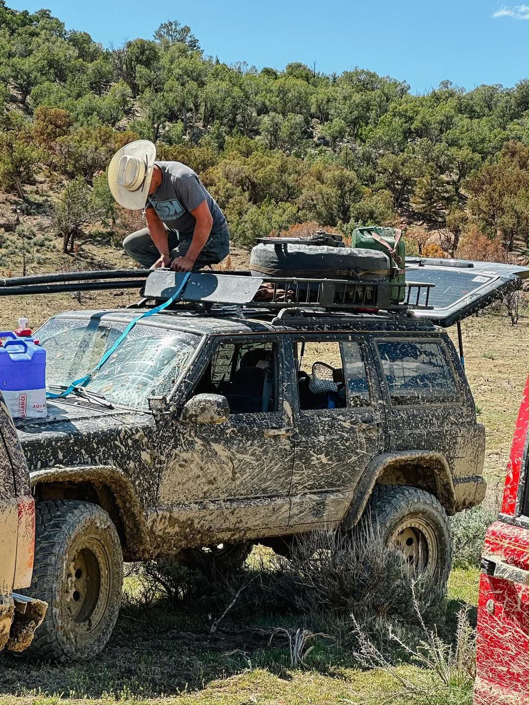
It was nearly impossible to come up with10 of our favorite 4×4 off-roading trails and OHV areas in Colorado, so we simply ranked them in the order that we’ve most recently ridden them!
Off-Road Campers Built in Colorado
Colorful precedes Colorado, in the states slogan for a reason and most of these locations give you a perfect, visual explanation as to why. Colorado has an abundance of variety and one of the best things it has to offer is it’s 4×4 off-roading trails and OHV areas which is why Frontier Unlimited is located in Colorado
And whether on foot, on a mountain bike, a dirtbike, or in a side by side, four-wheeler, jeep or truck, we’ve seen it all, my brothers and I. I’m either on my own dirt bike or car or I am the passenger princess in one of the vehicles. All the while I’m holding on to the handles for my dear life as the car whips around the turns at dangerous speeds or crawls to an impossible vertical angle.
I tried to narrow it down to a short list of our favorite off-roading trails and OHV areas in Colorado, so you didn’t have to go through all the trouble of researching, but suffice it to say, these rock and should be at the top of everyone’s list.
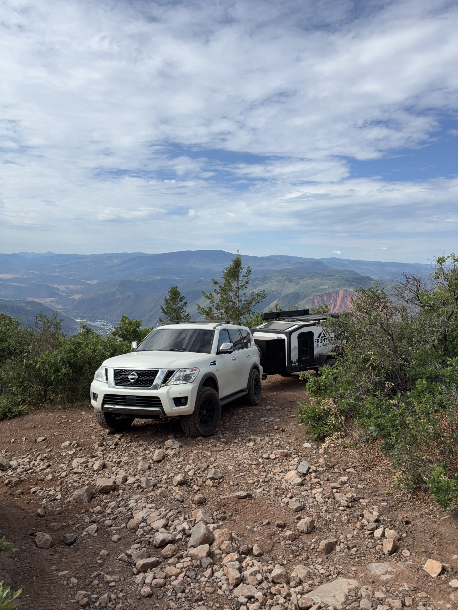
And if your rig can make it up these trails, the Frontier Unlimited ROCH pro off-road camper can as well, guaranteed.
Table of Contents
Our Favorite Colorado Trails
Transfer Trail
Transfer trail is a gorgeous yet challenging trail that starts near Glenwood Springs and runs into the White River National forest toward the flat tops area. It is road number FS 602.
It’s rated quite difficult, but you can make it up in most vehicles considering the roads are full width. Just be careful of people coming from the opposite direction, those side-by-side riders think they own the road … yeah we aren’t above slinging mud. But this is sage advice no matter what trail you are on.
Transfer’s scenic route is so breathtakingly gorgeous, I could never grow tired of it, and I never have. Truly, my siblings and I grew up on Tranfer Trail, literally and figuratively.
As you drive up, there are amazing overlooks with insane views. Once you come up out of the steep incline, there are stunning views in the massive flattop wilderness areas for miles and miles. Here you’ll find lakes and meadows with wildflowers and, depending on the season, hundreds of butterflies. You will find dense forests and wildlife sightings and camping opportunities as well.
It is approximately 24 miles long, but some off-roaud guides describe the primary 4×4 section as about 13.6 miles long.
Transfer climbs from roughly 5,800 feet to 11,000, depending on the mapped section.
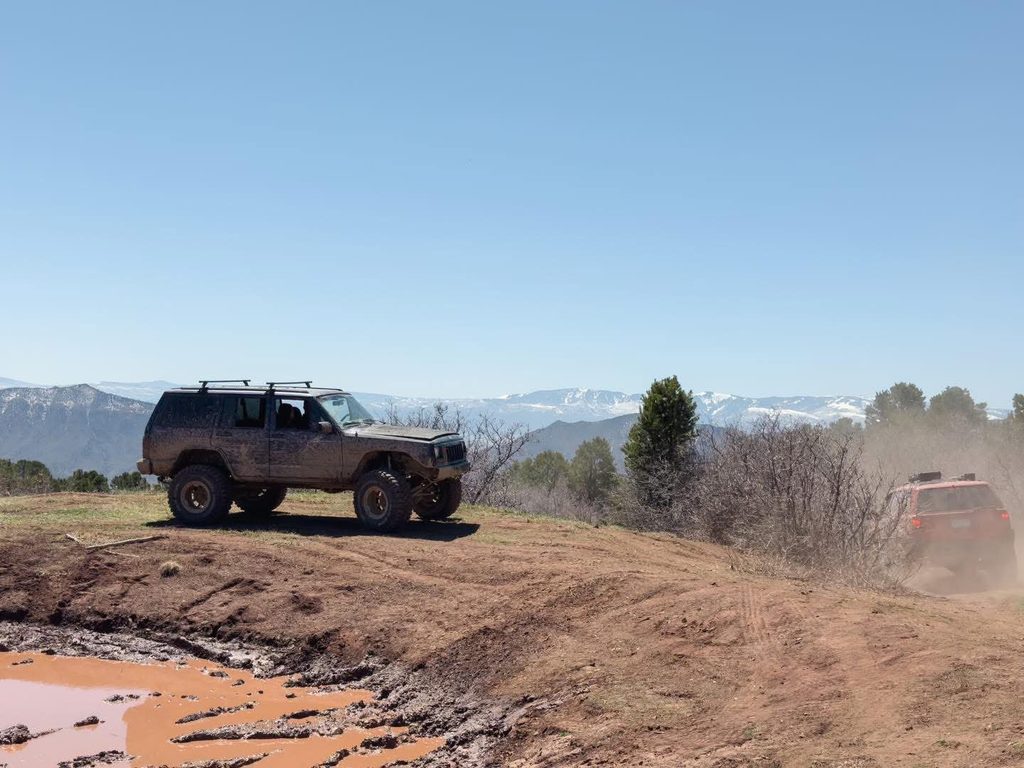
Transfer is relatively moderate to difficult. But it honestly depends on the conditions. The muddier Transfer is, the more difficult and slippery it becomes. And the mud out here is extremely slick. However, there are some narrow, rocky and rutted sections, so keep that in mind.
If you haven’t been up Transfer Trail yet, I highly recommend it. July through late September is the best period of time to hit the trail.
Transfer trail changed riding for me, as I ripped up and over rocks and halted at the cliffside, I slowly fell in love with my dirtbike and the places it could take me to.
Holy Cross
Holy Cross is as extreme as 4×4 trails can get. Located near Minturn/Red Cliff in the White River National Forest, it is one of the most difficult trails in all of Colorado. It is Holy Cross City road, Forest Service road 759.1.
It’s a very infamous trail due to its obstacles like French Creek and Cleveland Rock. Disclaimer: It is stated that it’s for very experienced riders only. I would expect heavy traffic as it is usually packed with diehard offroaders.
It is about 3.9 miles one way. And it reaches over 11,000 feet at the end, beginning at a little over 9,000 feet of elevation. Again, the Forest Service describes it as most difficult while onX gives the broader Holy Cross route a rating of 9/10.
Due to its non-stop challenges, my only piece of advice is to bring spare parts, a spare person, and spare prayers as there are large rocks to climb over, steep hill climbs, narrow sections, creek crossings, ledges and technical rock-crawling obstacles.
However, despite the difficulty, or maybe because of it, it is extremely beautiful with multiple historical sites along the way. The trail is wide and 33″ tires are mandatory, at minimum.
Holy Cross is open to all vehicles between June 21st and November 22nd.
Black Bear Pass
Black Bear Pass is located in the San Juan Mountains, between Red Mountain Pass and Telluride. It is Forest Service Road; FSR 648 / Black Bear Pass Road.
The elevation on Black Bear Pass is insanely awesome … it reaches approximately 12,840′ before dropping dramatically toward Telluride, which is the defining part of the trail. Be forewarned at this elevation, you can encounter snow, ice, hail, thunderstorms, lightning, freezing temperatures, and rapidly changing visibility at any moment. Even in the heart of summer.
It is one of the most famous and formidable 4×4 trails in Colorado. Like Holy Cross, it is rated extremely difficult.
It isn’t beloved because it’s merely rocky, but because of the extreme exposure, steep terrain, tight switchbacks, rock obstacles, and very little room for error. It’s not a trail to cut your teeth on, you know what I’m saying?
I didn’t run it, but, of course my older brothers did and they had a blast
The route is approximately 7–8 miles, but don’t think of it as a quick 8-mile drive. The difficult descent can take several hours depending on traffic, conditions, and how cautiously you’re driving.
I’d be remiss if I didn’t mention the major feature on Black Bear Pass … called The Steps, which is a steep, rocky series of switchbacks and ledges. A rocky obstacle on a trail with 20 feet of flat ground around you is one thing. A rocky obstacle on a narrow mountain road with a massive drop beside you is another.
The views, however, are stunning. It makes the challenge so much more worth it. You’ll see the huge San Juan Mountains, dramatic cliffs, Bridal Veil Falls, and Telluride.
It’s opening dates are varied, so there is no definitive answer. Check the county’s current status immediately before going. And don’t assume there will be cell service across the whole route. Download maps before leaving and tell someone your plan.
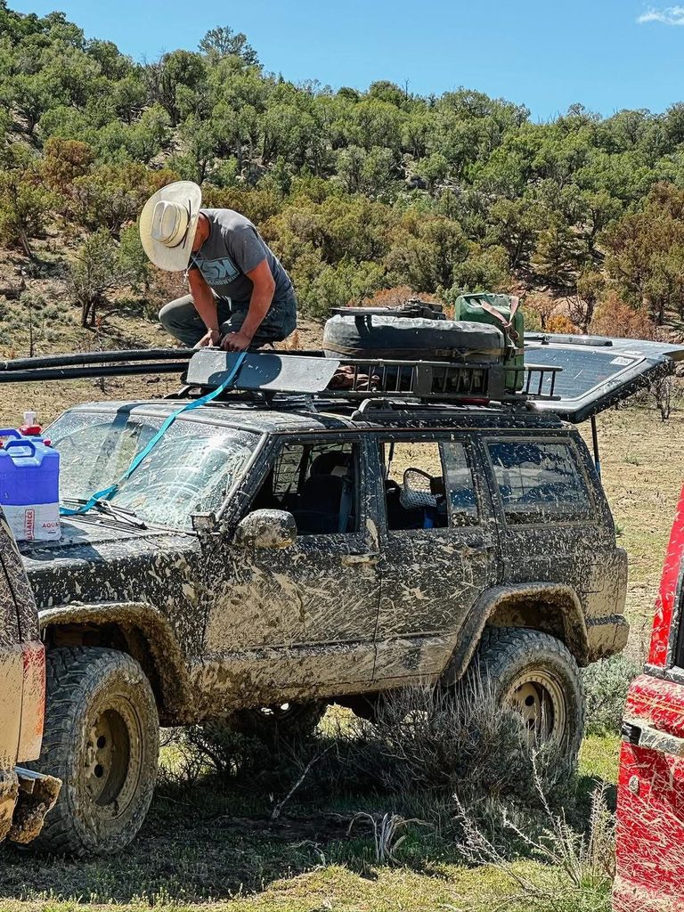
Poughkeepsie Gulch
Within the broader Grand Mesa, Uncompahgre and Gunnison National Forests area, Poughkeepsie Gulch is a high-elevation historic mining road and OHV/4WD route in the San Juan Mountains, connecting the Engineer Pass and Mineral Creek side with the California Gulch/Animas Forks side.
The route climbs from roughly 10,000′ to about 12,500′, depending on exactly where you measure it.
You might have heard people refer to Poughkeepsie by The Wall, which is a steep and rocky obstacle on the route which includes multiple paths through it. It’s challenging enough that properly equipped vehicles sometimes have to use a winch, so choosing the right path matters. Although, you don’t have to drive through The Wall, there is a way around it, most enjoy the challenge.
An important note: The Wall can also become significantly more difficult when wet.
On Poughkeepsie, a stock 4×4 will be capable depending on conditions and the driver’s experience, but airing on the side of caution, you are always better off with high ground clearance.
Like the other more difficult trails, Poughkeepsie deals wth large rocks, deep ruts, loose rocks, steep climbs, narrow sections with limited ability to turn around and vehicles coming the opposite direction as well as shelf roads and water and mud, all the while with extremely steep cliffs.
It is also extremely beautiful, with massive 13,000’–14,000′ peaks, alpine tundra, waterfalls, wildflowers and high mountain valleys, and incredible views toward the surrounding passes. It’s definitely a no-brainer when mentioning the best 4×4 Off-Roading Trails and OHV Areas in Colorado
It’s also cool that Poughkeepsie isn’t totally isolate, it fits into the Alpine Loop and is part of a huge network of historic mountain roads all-around:
Ouray → Engineer Pass → Poughkeepsie → California Pass → Hurricane Pass → Animas Forks → Silverton
The famous Alpine Loop connects the Ouray, Silverton and Lake City areas and crosses several passes above 12,000′.
So you can make an enormous overloading trip out of the area as there are many camping spots in the area, including many dispersed sites along the first few miles alone. Just be sure to bring along the Frontier Unlimited off-road camper for an easy, comfortable base camp!
You can combine Poughkeepsie with any of the following:
- Animas Forks
- California Pass
- Hurricane Pass
- Engineer Pass
- Cinnamon Pass
- Lake City
- Silverton
- Ouray
Although it’s not really a conventional hiking trail, its main attraction is off-roading, people do hike portions of it. You can hike sections of the route, and hiking honestly does give you an entirely different perspective than you would have behind the wheel. As the only hiker in the family, everyone else preferring the faster modes of transportation, I have yet to don my Hoka’s and embark on any of these routes by foot.
You could also see a handful of wildlife, such as elk, mule deer, black bears, marmots, mouuntain goats, eagles, bighorn sheep, and maybe even moose.
Poughkeepsie is a seasonal high-country route. It is generally open July through mid-October, although actual opening and closing dates depend on snow and road conditions with a typical season of approximately July 1 through October 14.
Coffee Pot
Located on the more undemanding and unknown side of the spectrum, Coffee Pot is actually a different kind of 4×4 experience than the other trails I’ve listed above. It isn’t an extreme rock-crawling trail. Instead, it’s a long, scenic, high-country route that has become one of my all-time favorite camping getaways, and bonus: it connects to Transfer Trl (the first trail I mentioned).
It is located near Dotsero, Colorado, north/east of Glenwood Springs. It’s primarily referred to as Coffee Pot Road / Forest Service Road 600.
It climbs up from the Colorado River into the southern edge of the flat tops, eventually reaching Deep Lake.
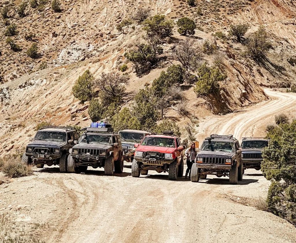
All in all, Coffee Pot is about 37 miles long, although some trail guides measure the route at about 28 to 30 miles. The difference depends on what connected trails you include in your trek. And it reaches almost 11,000′ in elevation.
For the most part it is rated easy to moderate. Coffee Pot is primarily a graded gravel road with nothing more challenging than switchbacks, some rocky sections, narrow parts with drop-offs and washboard terrain.
As for camping, there are numerous dispersed campsites, as well as some gorgeous hidden gems near lakes and forests with sudden meadows of flowers – the most perfect place to park your Frontier Unlimited Roch off-road camper, if I do say so myself. But almost anywhere you find to set up camp, it’ll be beautiful with aspen trees and mountain scenery. And fishing is, I’ve heard, phenomenal.
Coffee Pot opens in the middle of June and usually closes for the season at the end of November.
Frontier Unlimited’s Favorite OHV Areas
Taylor Park
Taylor Park is a high country 4×4 picturesque paradise. It is located near Gunnison, CO surrounded by the Sawatch and Elk mountains. Taylor Parks reaches 12,000′ of elevation.
There are over 100 miles of trails throughout the forested areas, and the trails range from beginner to expert. It’s a perfect destination for off-roaders of all levels. Even the most experienced and impressive off-roaders will enjoy the adventure and challenge these trails have to offer through forest roads, rocky climbs, meadows and creak crossings.
With the paths of the single tracks snaking through the dense forests, it contains a challenging yet exhilarating experience for experts. And as you conquer each sharp turn and steep incline, you’ll be rewarded with breathtaking views.
Yet, for riders seeking a more leisurely adventure, there are many multi-tracks as well, providing an ideal opportunity to explore the beauty of Colorado’s landscape, up and running. The wider paths accommodate jeeps, ATV’s, and most off-road vehicles.
Some of Taylor Park’s famous trails include:
- Tincup Pass
- Hancock Pass
- Cumberland Pass
- Taylor pass
- Tomichi Pass
- Iron Chest
In addition to that, there is a huge lake called Taylor Park reservoir that everything is based around. It’s perfect for fishing, it has Rainbow Trout, Brown Trout, Lake trout, Northern Pike, Kokanee Salmon.
There are developed campgrounds in the area, but you can camp for free in Taylor park, more or less dispersed camping on National Forest Land, as well. Go. It’s incredible.
The park is open from the middle of May into late November.
Buford
Buford itself is a historic settlement in the White River National Forest, located near Meeker. It’s a high country terrain also remembered as New Castle Road.
Forest Road 245 — Buford – New Castle Road is the main road across the mountains. And OHVs are not allowed on it. Instead, it’s open to highway-legal vehicles, bicycles, pedestrians and horses.
However, Motorized Trail #2290 — Buford –New Castle Parallel Trail is the OHV route that parallels the main road. It’s approximately 14.5 miles and is open to motorized vehicles less than 62 inches wide. That’s a crucial distinction if you’re taking a UTV.
It is one of the coolest places I’ve ever been. The area is much more remote and backcountry than a purpose-built OHV park.
It is very remote, so there is zero cell service, as well as no bathrooms, no hookups, and there are no designated camping sites either. But that’s the fun part about BLM land and OHV sites – you can camp almost anywhere. But who needs an actual campsite anyways? Not when you have the ROCH pro camper.
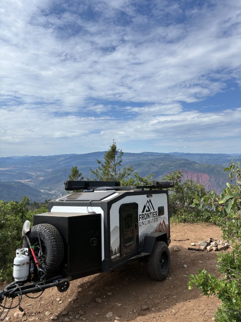
And because of that it is one of my family’s favorite places to spend a long weekend away from the rush and stress of everyday life. The Buford Road is 42 miles long across the Flat Tops with access to 4×4 trails that snake their way into the beautiful aspen and pine forests and around lakes.
Buford reaches over 10,000′ of elevation so expect a lot of snow and a lot of mud, depending on the time of year you go. Same goes with wildlife sightings.
It’s best to go between July and September.
Grand Mesa
Not only is Grand Mesa one of the best all-around outdoor and OHV destinations in Colorado, it’s also the largest flat-top mountain in the whole world.
You’re essentially driving from Colorado’s relatively dry canyon and desert country straight up onto a giant alpine plateau. The classic approach is CO-65, the Grand Mesa Scenic & Historic Byway.
It is, essentially, outdoorsmen heaven on earth.
It’s not just an OHV park, it’s a massive high-elevation plateau with thousands of miles upon miles of forest service roads and 4×4 routes and off-roading trails.
And the trails span between easy to difficult.
It is located in Western, CO, primarily between Grand Junction, Delta, and Cedaredge. It’s highest point reaches over 11,000′ of elevation, which is past the tree line. However, for the most part you will find yourself deep in Aspen and Spruce forests and open meadows.
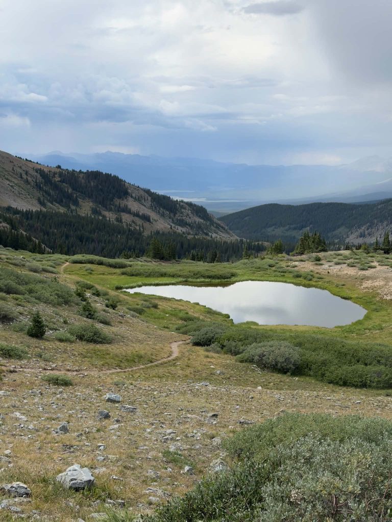
There are well over 300 lakes and reservoirs and scenic overlooks in Grand Mesa. No matter how many weekends you spend in the Grand Mesa, you might never discover all of the beauty it has to offer.
It is one of my all-time favorite place to escape with my family to chill in the outdoors for a weekend, dirtbiking, off-roading, fishing, you name it.
There are so many different campsites in the area, although my family likes to camp off-grid wherever we go. You’ll never find us paying for a reserved campsite, camping next to other people!
Not only is there so many offroading opportunities, there are a myriad of different hiking trails with views of many of Colorado’s fourteeners as other plateaus and hundreds of lakes and reservoirs and scenic overlooks.
Like Coffee Pot and Buford, there will be hunters using these areas, particularly during Colorado’s Fall big-game season as there are many elk and deer as well as moose and bears, so be respectful …
Although Grand Mesa and the others being open to it doesn’t mean hunting is occurring everywhere. Hunting is only allowed in designated areas during legal seasons, while roads, developed recreation areas, and particular trails can have their own restrictions..
As well as hunters, there will also be fishermen, dirtbikers, ATV’s/OHV riding, mountain bikers, and jeep/off-road exploration.
I could not recommend it more, it is a beautiful area with so many opportunities.
Grand Mesa is not generally closed for the entire winter, either. The main CO-65/Grand Mesa Scenic Byway is maintained through winter, and it is actually a major winter recreation destination for snowshoeing, cross-country skiing, snowmobiling, and skiing. However, many individual forest roads, trailheads, campgrounds, and recreation areas are seasonally closed or become inaccessible because of the snow. The Forest Service specifically warns that weather can make roads and trails impassable for extended periods.
Peach Valley
Peach Valley is entirely different from everything else I have previously talked about. Unlike everything else, it is not a high country, mountainous, or forestry terrain. Instead, it is the complete opposite.
It is a deset. A desert paradise, if you will.
It’s located in Montrose, CO. And it stretches across nearly 10,000 acres, and 3,000 of those acres are designated open play areas.
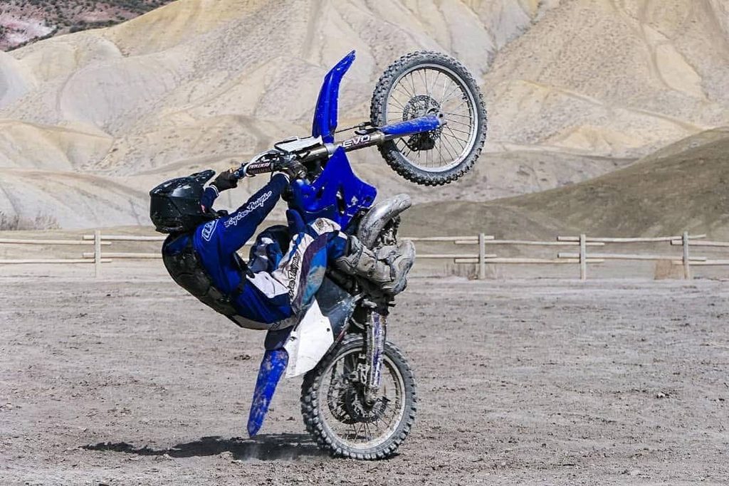
Thin ridges at the peak of huge mounds of dirt are the backdrop to a huge parking lot. The hills of dirt are endless, one after another, seeming to go on for miles and miles before they connect with the horizon. With higher summits peaking over others. It is absurdly beautiful, in its own unique way.
There are multiple various tracks and it’s perfect for beginners, intermediate and experts. It is literally the ultimate spot for riders of all abilities to have fun and ride.
The trails are endless and expand over at least 75 miles. There are hundreds of them woven between the dirt hills. You could explore for day on end and still not see it all. We spend many weeks here and absolutely love it.
Camping is available, first come, first served at the staging area, so arrive early on a busy weekend, or better yet, check it out during the week. There is cell service, two vault toilets on either side of the parking lot and town is just a short drive away, so it’s easy to stock up on essentials.
It is one of my family’s all-time favorite OHV areas. We discovered it in 2021 and have been going there annually ever since.
Peach Valley is open year round, though I’d recommend Springtime or Fall as it’s extremely hot in the Summer until the sun goes down and then, it is cool.
Rabbit Valley
Rabbit Valley is an OHV site that sits on the border between Colorado and Utah. It’s a network of routes that spread across almost 26,000 acres of desert mesas, ridges, washes and canyons, weaving their way into Utah and then back into Colorado..
It sits inside the McInnis Canyons National Conservation Area, managed by the BLM. The NCA is about 124,000 acres, and Rabbit Valley is one of its main motorized recreation areas.
It’s Rabbit Valley is similar to Peach Valley in it’s terrain and the surrounding area. But it’s unique with scattered juniper and sage brush as well as dry washes and red and tan rock and views of the Colorado River.
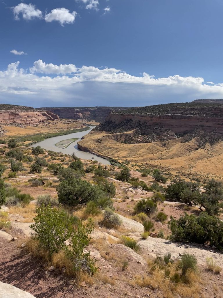
The official BLM Rabbit Valley trail map is old, but the newer McInnis Canyons travel map is particularly useful for understanding current designated routes and camping areas.
The trails include a pretty broad spectrum of skill. It’s a perfect place for beginners or families to camp and just enjoy the scenery.
But if you’re looking for a little difficulty, there are trails with rocks, ledges, uneven trails, loose climbs and sections with an extreme amount of deep sand that is nearly impossible to ride through.
And there are some that are even more difficult, reserved only for the experts.
Camping is permitted, there are many designated sites. But there are many sites. There’s also cell service as well as bathrooms.
Rabbit Valley is open all year but again, due to the heat, it’s best to go in Spring or Fall. Just make sure to bring a lot of extra water, and fuel.
And for most of these sites and trails listed below require four-wheel drive vehicles with low range and high ground clearance as well as good all-terrain or mud-terrain tires, a full-size spare, recovery equipment, ideally a winch, and rock sliders/skid protection could be helpful.
Be safe out there, but over all, go rip it up!
html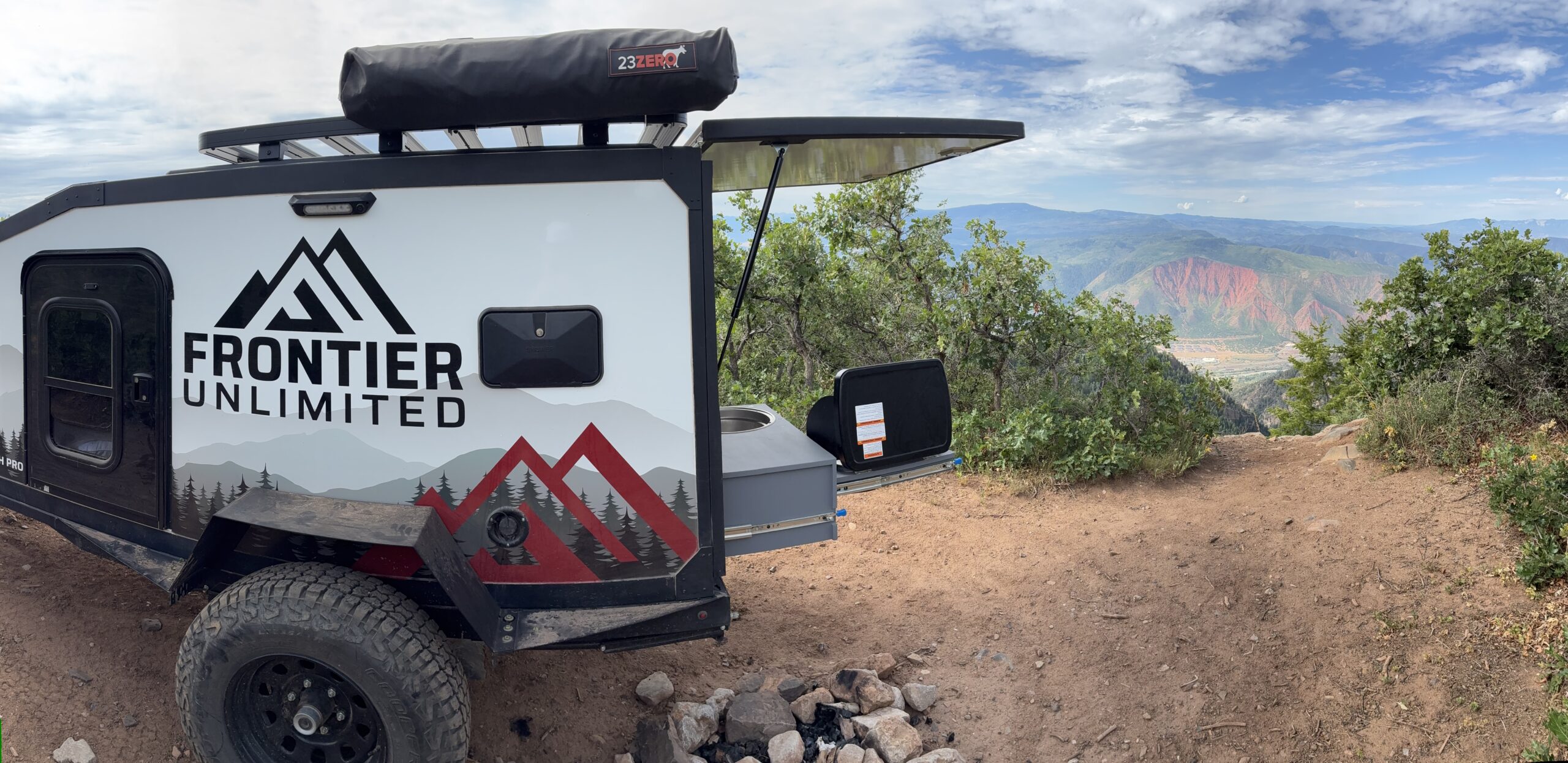
Leave a Reply